Naovarat Surveying Co., Ltd.
Naovarat Surveying Co., Ltd.
GNSS stands for Global Navigation Satellite System is a satellite system that is used to pinpoint the geographic location of a user's receiver anywhere in the world. GNSS allows the measurement of features or points anywhere in the world, from space. The data collected by these systems can be used to control large infrastructure projects or provide the information for In-car navigation systems.
Type of GNSS Receiver
1. Navigation Receiver
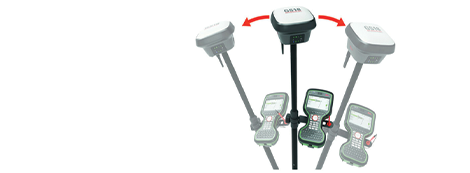
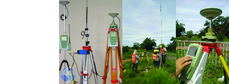
2. Survey or Geodetic Receiver
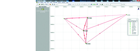
Mode of Geodetic GNSS Surveys

Design by www.meeidea.com
© 2018 Naovarat Surveying All rights reserved.


